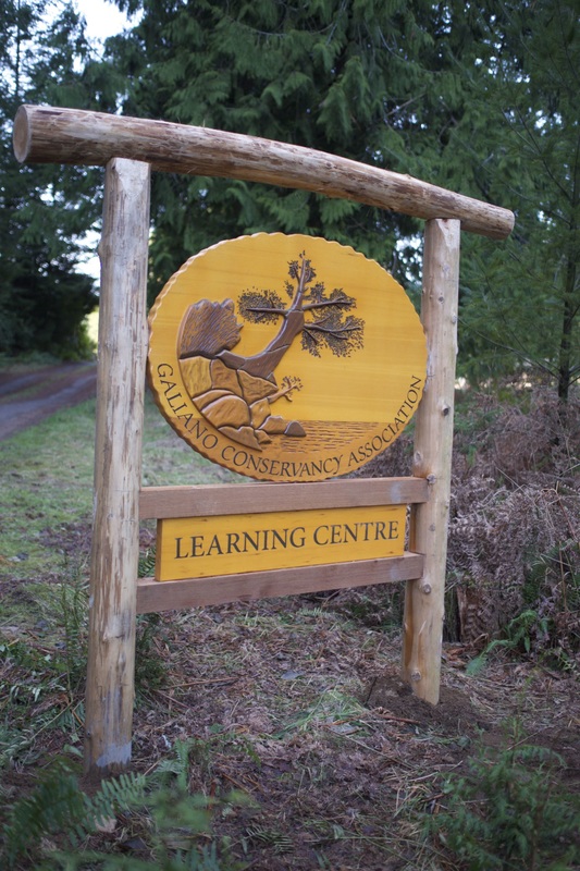
The Millard Learning Centre
|
The Learning Centre is a 76.1 hectare waterfront property midway up the west side of Galiano Island. It is the culmination of 25 years of sustained effort by the Galiano Conservancy Association (GCA), a community land trust, to conserve and restore the ecological legacy of this remarkable island. Located within sight of Vancouver, these efforts have created an impressive network of protected areas. A growing realization that protection is only part of the challenge to greater sustainability, the GCA embarked on a campaign to purchase one of the most impressive privately held portions of the Island. With major support from the Nature Conservancy of Canada, Vancity Credit Union and many private supporters, District Lot 57 was purchased in February 2012. Not only did the purchase secure protection for DL 57, it created a mid-Island conservation corridor that connects the Learning Centre to other protected areas (the Great Beaver Swamp, Pebble Beach Reserve and Bodega Ridge Provincial Park) creating a coast-to-coast-to-coast network (Figure 1).
In September 2016 it was formally named the Millard Learning Centre in honour of (the late) Ken Millard, his wife, Linda, and their family, who have given so much to secure a remarkable learning environment on Galiano Island.
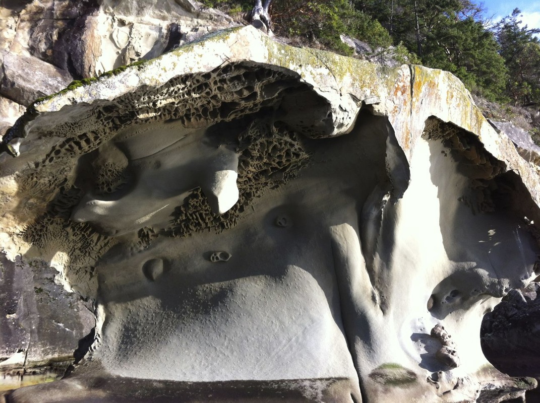
The property is topographically diverse, with sandstone ridges running parallel to the coast. On the west side of the ridges are dry Douglas fir-arbutus ecosystems, and on the east side are wetter forest types that include western red cedar. In the valleys are wetlands and meadows. There is a rich and deep human history of the site. Very little is known about indigenous land use practices on the site itself, but it is likely ancestors of the Penelakut First Nation would have known the central cove of what is now the Learning Centre, walked along the high bank, or hunted. The Penelakut has reserve land at the north end of Galiano, and is one of six First Nations that form the Hul’qumi’num Treaty Group. The laminations of settler history begin in the 1880s with the Crown land grants designating District Lot 57. The land was farmed (the original farmhouse located near the cove), and for the sixty years prior to the GCA’s purchase, operated as a small-scale timber harvest and mill. Approximately 20 ha. of Agricultural Land Reserve runs through a moist valley on the property (designated by yellow line in Figure 2).
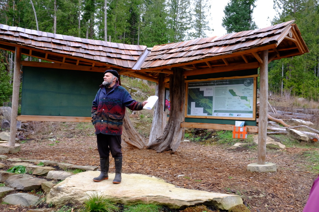
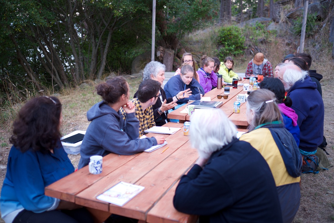
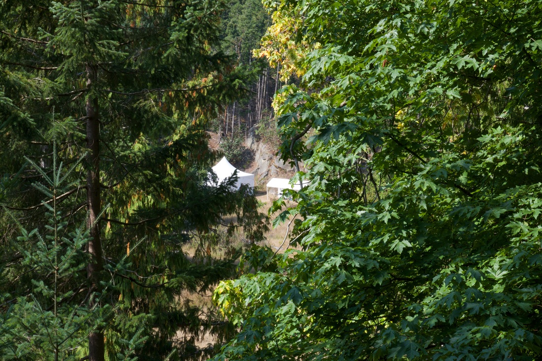
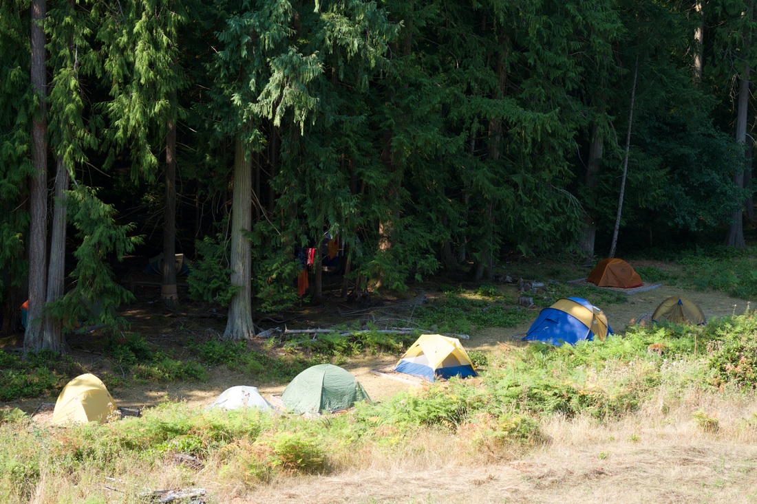
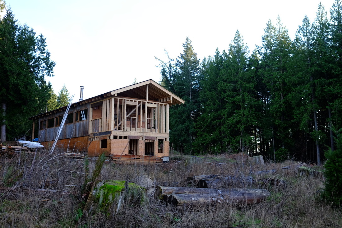
At this stage, the Learning Centre is still mostly a dream. The first building—an up-cycled former classroom used by the Silva Forest Foundation was donated and moved to the site—an opened in the summer of 2015. The 2015 students in ES 441/ER 411 were the first to use the new building for a course. A community-based design process has created the foundations of a longer term vision for modest facilities, and an ambitious fund raising program is being developed. A management plan was developed for the site in 2013, which provides ongoing guidance about appropriate land use across a variety of ecosystems and human activities (Figure 2). The GCA has a significant history of learning programs, having brought thousands of school children to Galiano for a variety of programs. The hope is to expand the range of opportunities for learning about ecological restoration and sustainable food systems by partnering with schools, colleges, universities, agencies, and private organizations. The ES 441/ER 411 course is amongst the first of these partnerships.
|
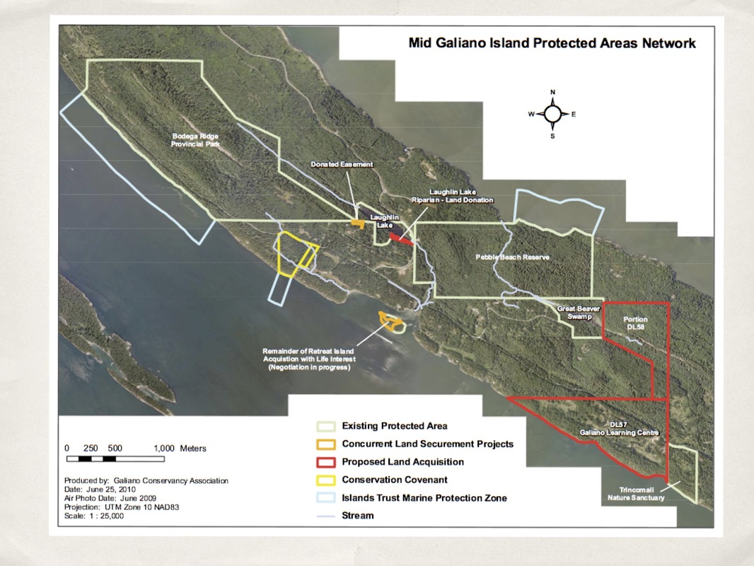
Figure 1. Mid Island protected areas network. The Learning Centre (District Lot 57) bottom right.
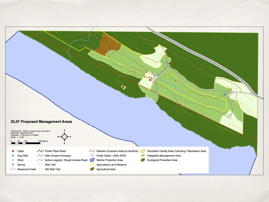
Figure 2. A zoned approach to land use in the Management Plan acknowledges significant ecological legacy (dark green) while honouring agriculturally-rich areas and the desire for modest activities associated with learning programs and research.
|